

Updated route info (2021) to be found at the end of this post. Definitely worth a look for a shorter and more scrub friendly route!.
When I first started to get serious about walking, and bought myself a great big map of Tassie, put it on the wall, and stuck pins in every peak that’s worth points on the HWC peakbaggers list, The Elephant was one that caught my attention. Probably because elephants have been my favourite animal since I was little. Then in April this year when I was up in the NE and I first set eyes on it (obvious to pick if you drive towards St Marys from Fingal, it looks like an elephant lying down, trunk stretched out in front) I really wanted to. That wasn’t to happen on that particular trip, but we did get to have a bit of a recce, and get some vague directions from a local who often walks up that way (though not to the summit).

That was the beginning, and yesterday was the end. We woke up nice and early, thanks to daylight savings (there are times when having a job like baking comes in handy, as early mornings aren’t so hard), and met at 6am at Granton. A stop in Campbell town to wake up with coffee and we were off along the Esk Highway towards St Marys. Not long on the Elephant Pass road (just before the Pancake place) and we were turning left, up the rough cut in to an openish space to park our four cars.

We started out shortly after 9, heading east along the vehicle track we were on, searching around for a spot to head north. We ended up choosing a bit of tape, but probably should have ignored it (a bit further east was where an old bulldozer track came out, and we followed this down quite easily on the way back, though it’s a bit harder to spot if you’re heading up). It didn’t really matter, as the scrub was easy enough to weave through. The orchid spotters had keen eyes, and found some very cute little guys on the way up. As we got higher, and the incline started to flatten out a bit, we found the cutting grass, its brilliant green contrasted beautifully with the grey-black burnt tree trunks of the gums.

After wandering 1.5km along the flatish top, we arrived at the cairned summit. Views were limited somewhat to the forest, but it didn’t matter so much. We sat for a small bite to eat, deciding to move when the lure of pancakes became too strong. The way down we stuck further west, and had a relatively scrub free descent. We also managed to stay on the old dozer track right to the vehicle track, which made going nice and easy. We were back at the car at 2 (6.8km, 5 hrs and about 400m ascent), and eating pancakes in no time ;).

It was a little hard to get moving again, but St Pauls Dome was supposed to be short, and while it might have looked threatening, it wasn’t actually raining yet. So we went to check it out, following directions from off wildtiger.com. A note to anyone else who follows these directions, they were written in 1999, and the ‘2 wheel drive’ access road is very much not that. We crammed from four into two cars, a 4WD and the other possibly an AWD (I wouldn’t have taken my AWD over one short section of the road had I have been alone). It was good we did, cos it cut off a fair bit of walking. As a result, we got quite close, walking only 360 metres on road before heading into the scrub.

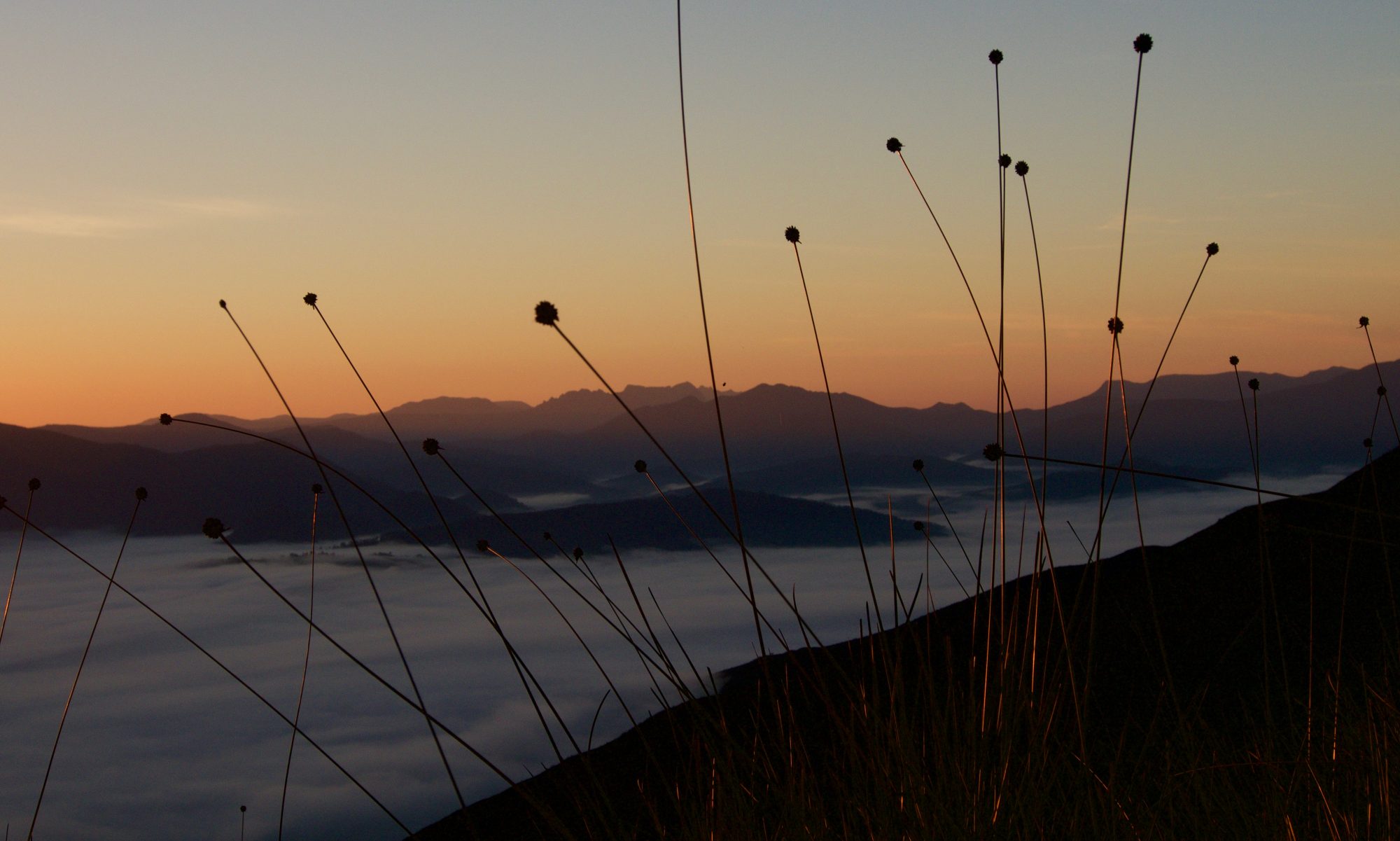
We’d started out at 4.15, and after the road walk headed into the open/minimal scrub. After a short walk we hit the scree fields, and began the climb. The higher we got, the more fun it became, as we walked on pretty awesome rock, in amongst the tree tops. It’s one of those short fun easy scrambly walks that keep you awake and entertained as you decide where to put the next foot, so that you’ll be balanced enough to glance at the mist seeping through the trees while you move onwards and upwards. The rain threatened, but backed off, and we made it to the summit in an easy hour and 15 minutes, to be rewarded by partial views, in amongst the tree tops and cloud.

After a short rest and enjoyment of the top, a time conscious group headed back down, back at the car in an hour, making the walk 2.5 hours, 2.9km and 330m ascent. A long drive home for people who’d either been walking the day before, at the Radical Reels film festival or the opera or anything else, and had had even less sleep due to daylight savings.. but we made it, and though we may be tired, a little tender or sore, I’m certainly nicely refreshed!


Mt Elephant update:
A much better route can be found from Mt Elephant road, to the southeast of the summit. It takes anywhere between 1.5-2.5 hours return, and is MUCH nicer under foot. Largely open forest with the fern and cutting grass combination only coming in to play on the flat summit plateau.


Hey mate just wondering do u need to get a key to open the two gates for St. Paul’s dome from
Ormley ? And also do you have to ask permission from the land owner cheers 😉
LikeLike
The gates were unlocked when we got there, and also when we left. We didn’t see anyone to ask permission, or we would have. If you’re with any of the bushwalking clubs I’m sure they’ll have someone who knows who to contact…? If you want I can ask around?
LikeLike